SOLUTION
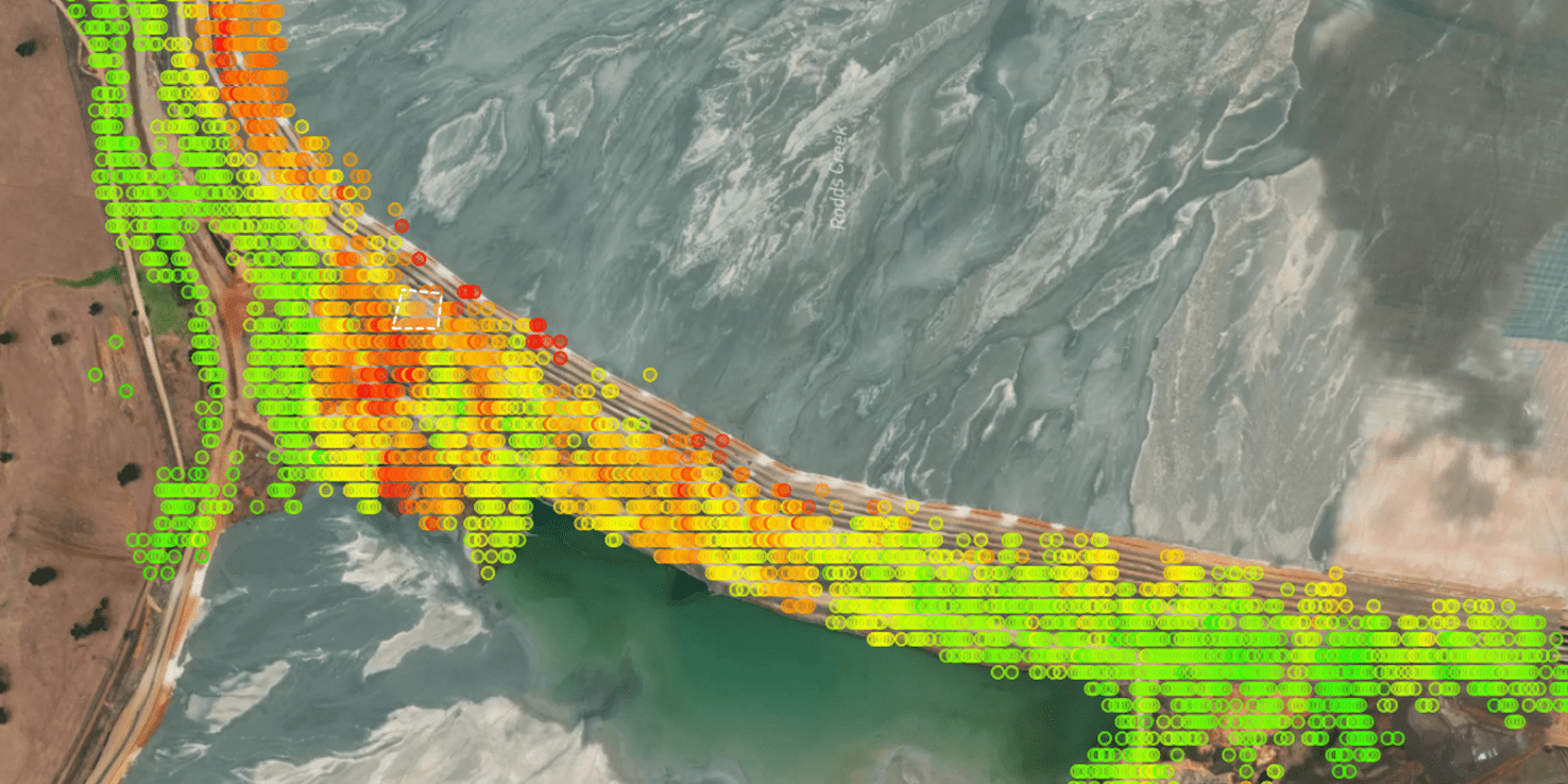
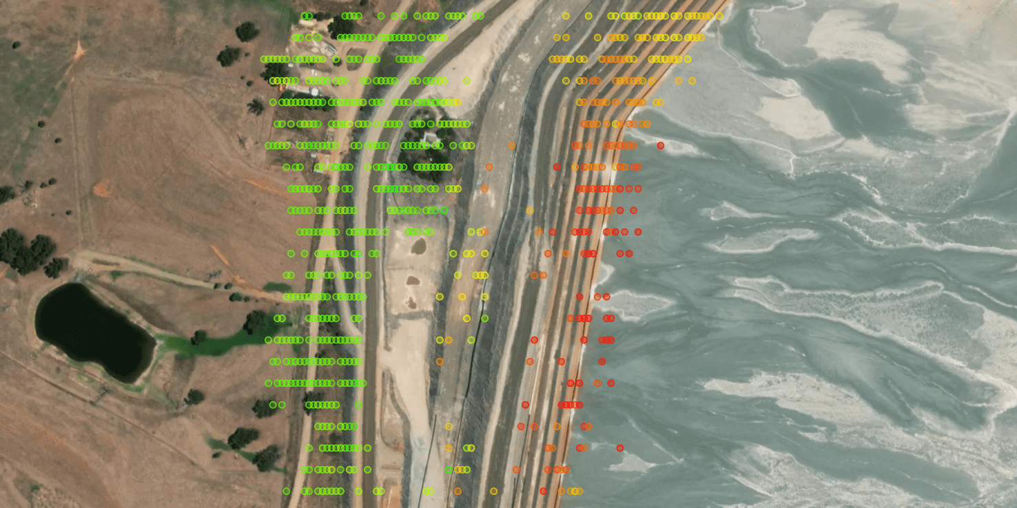
A specialised service for monitoring ground displacement, tailings, pond and ESG impact.
FOR WHOM
Mine owner, mine manager, tailing operator, ESG consultant, government agency.
BROCHURE
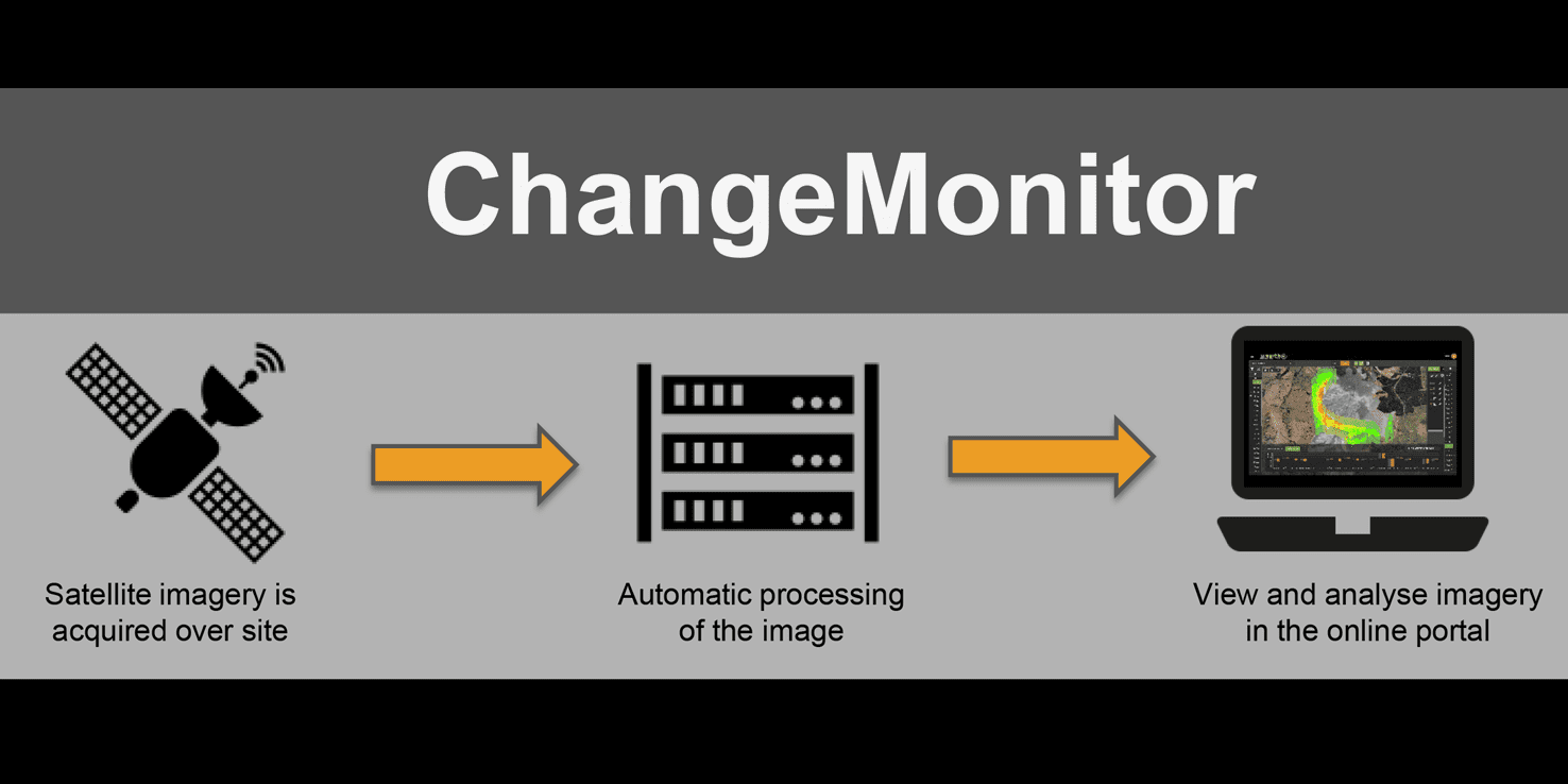
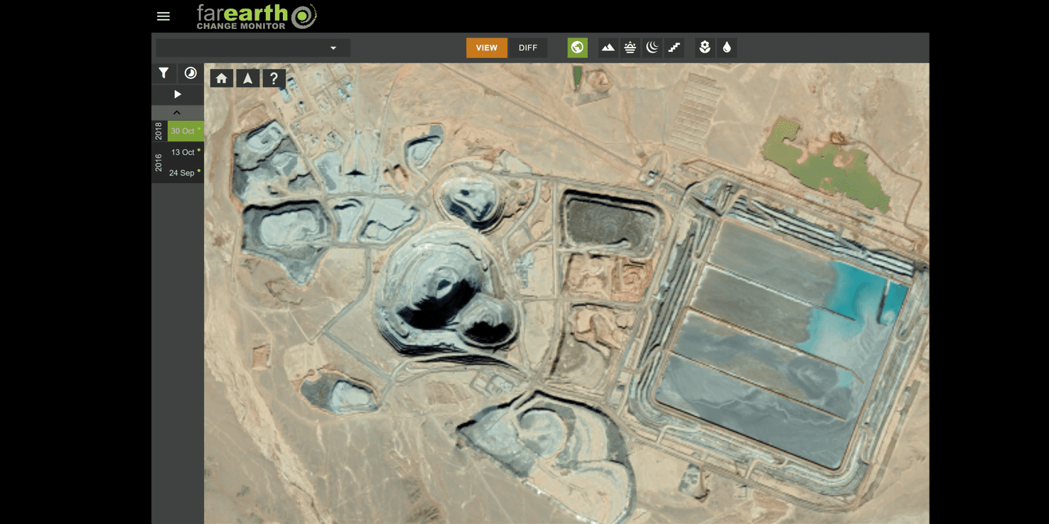
ChangeMonitor for Mines uses satellite-based radar and optical data. Acquisitions over the mine can be tasked at regular intervals as required.
This intuitive system includes:
- Automated space-based monitoring of remote sites
- User-friendly web-based interface
- Fully managed cloud-based processing and data management
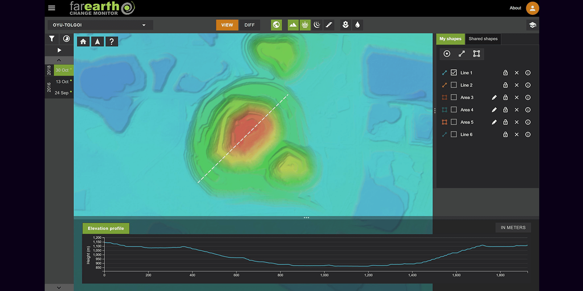
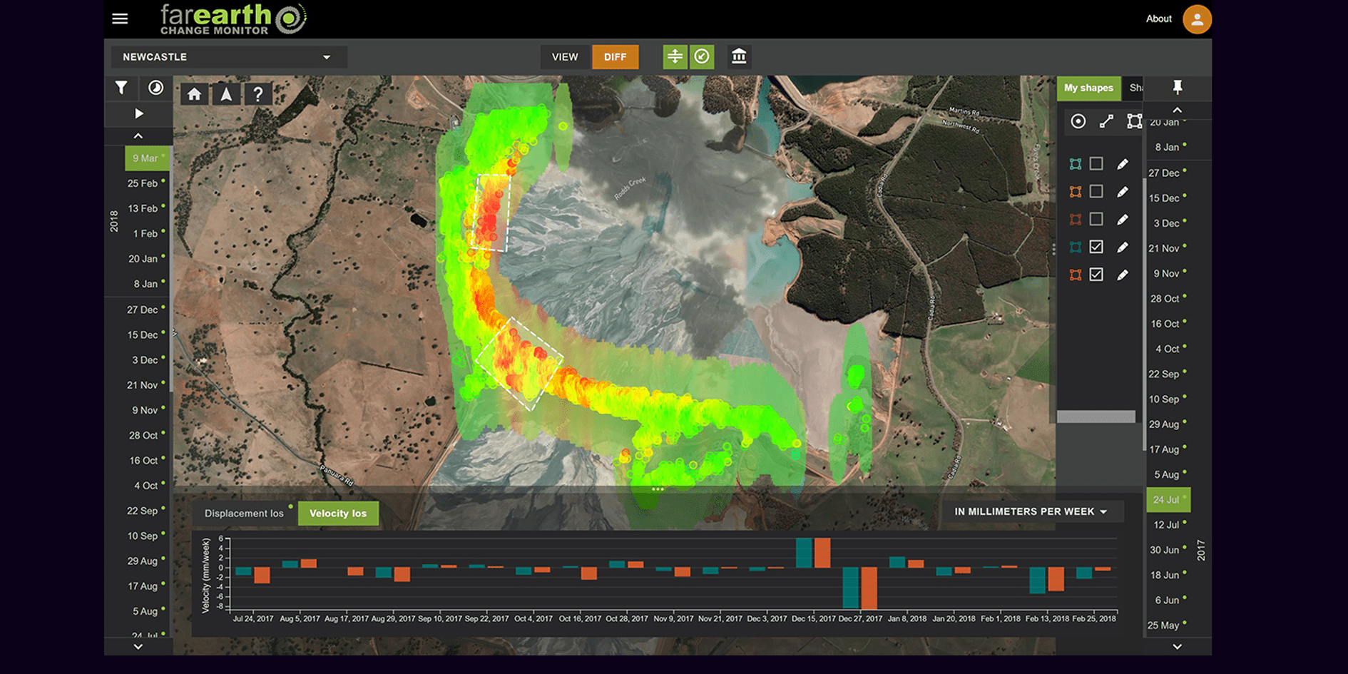
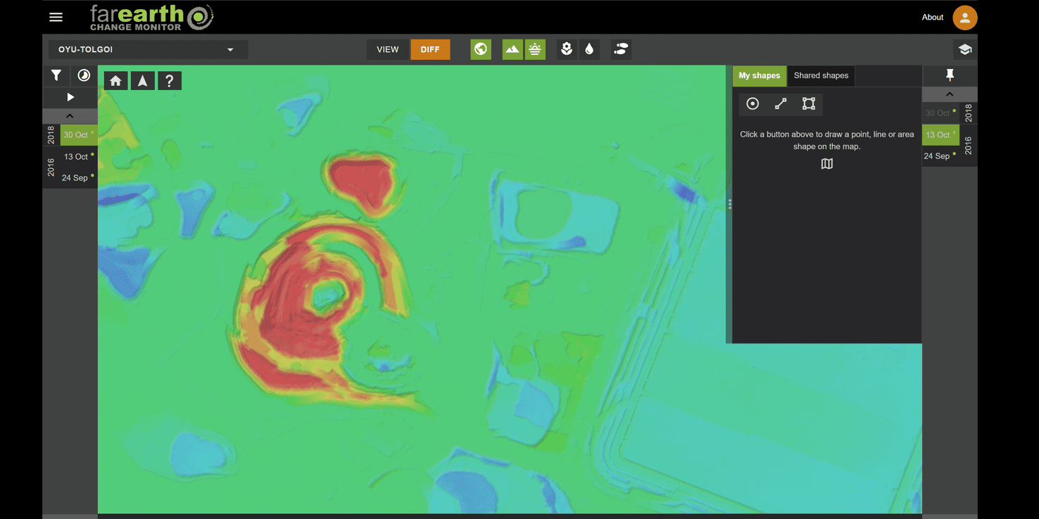
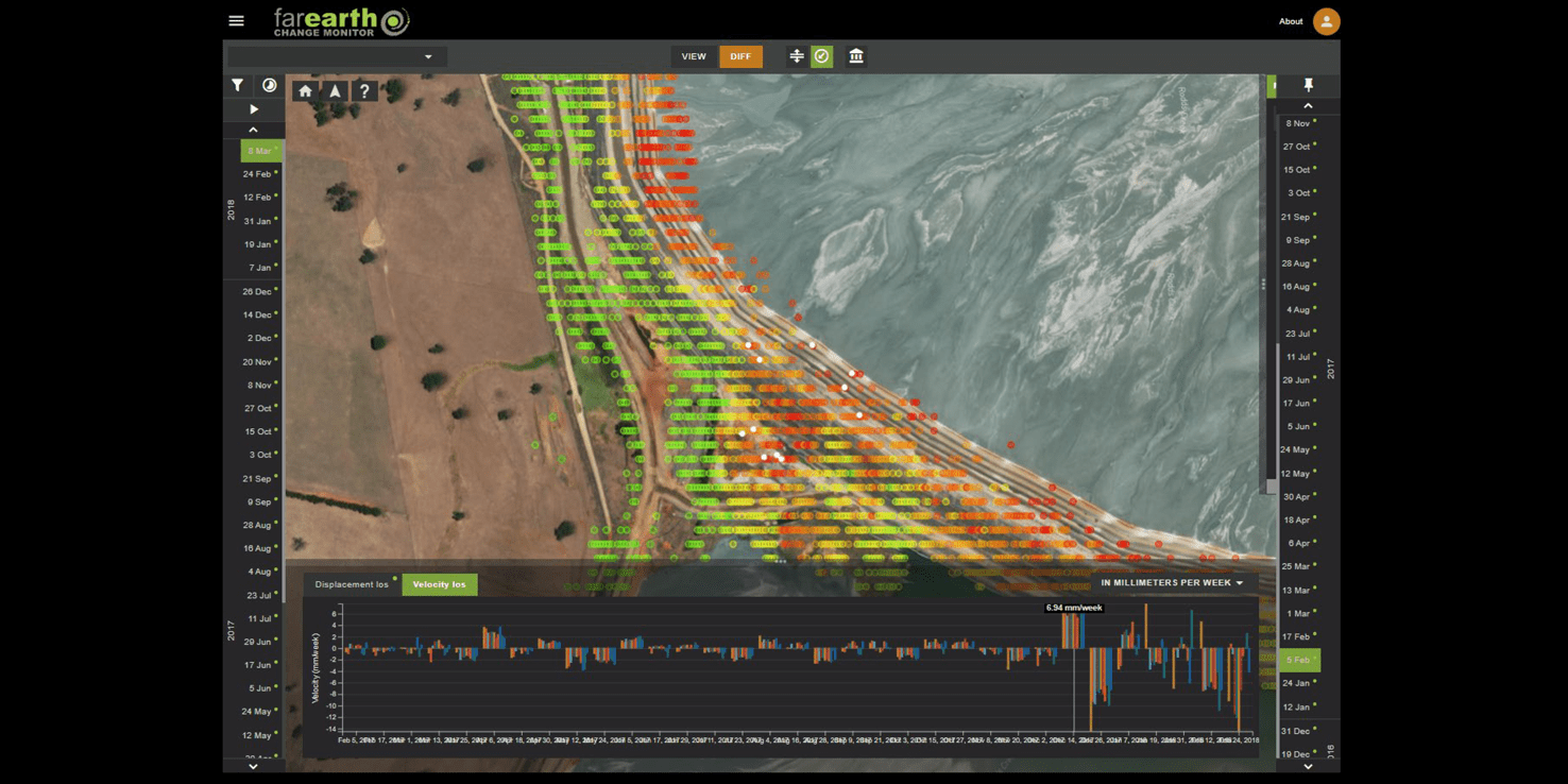
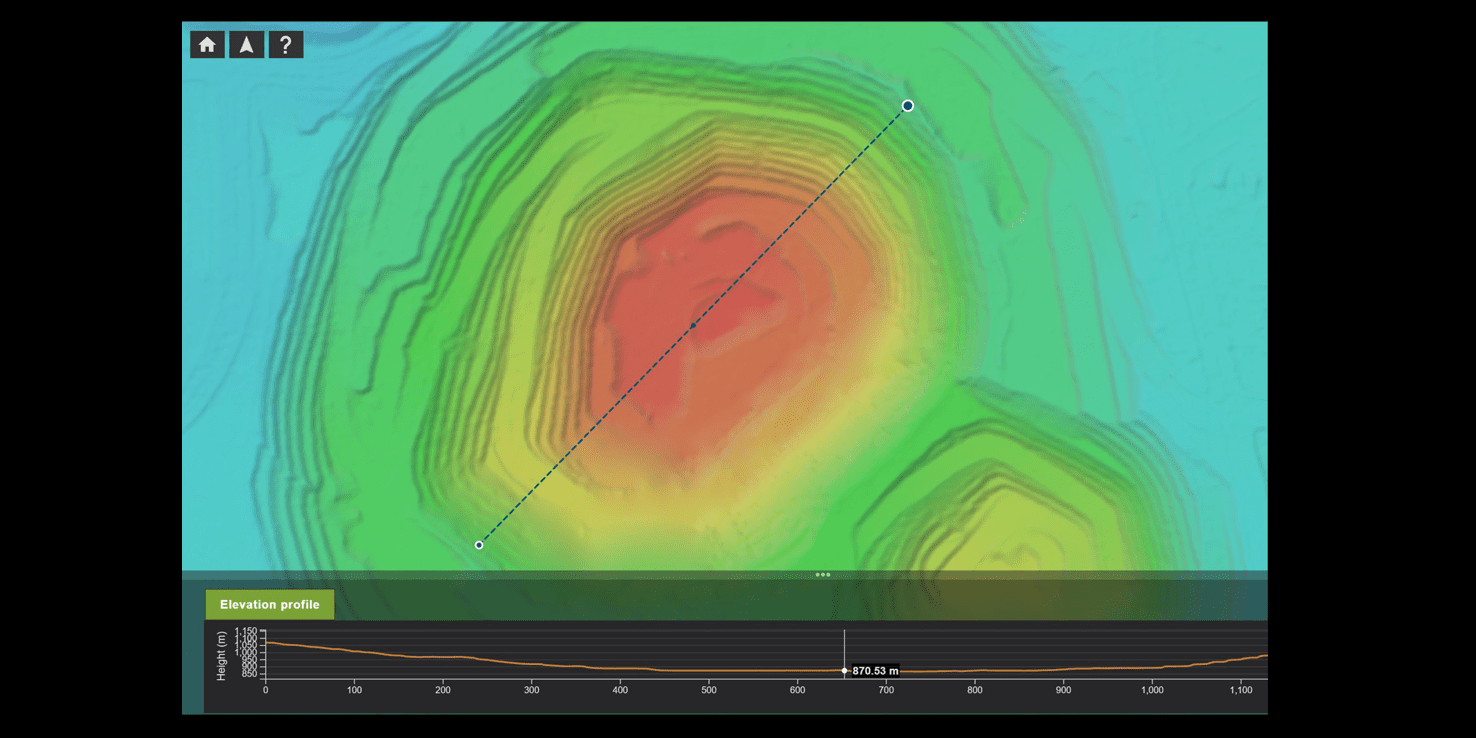
Easily view and analyse the monitoring results in the cloud, with all products for all sites in a single interface. Draw lines and shapes for on-the-fly analytical calculations, with graphs showing the changes over time.
The system provides custom reports and exports, with products in your mine’s custom projection, precision aligned with provided reference data.

GROUND DISPLACEMENT
MONITORING
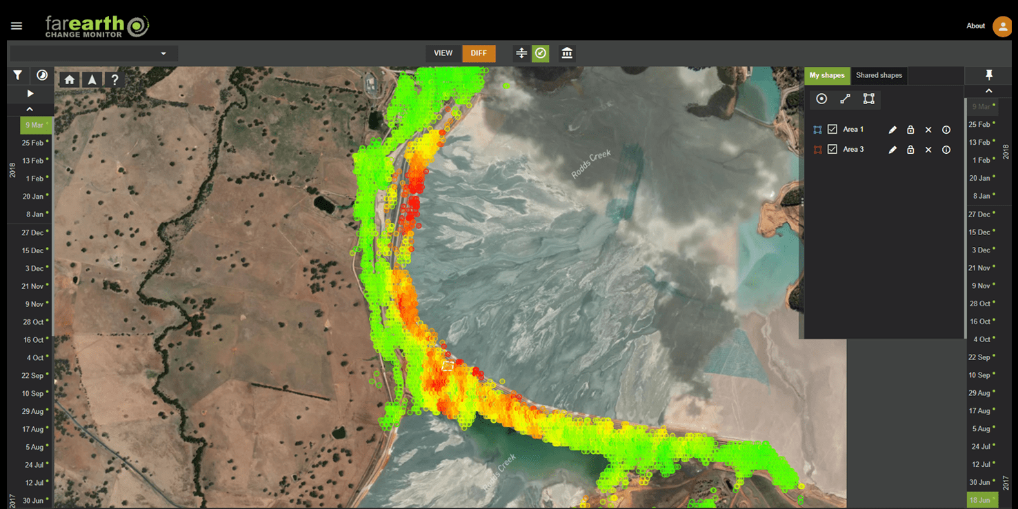
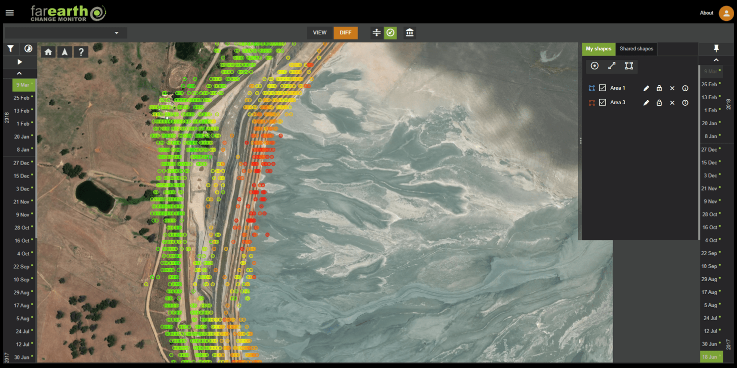
- Millimetre accurate subsidence and upliftment
- Horizontal surface movement
- High-density measurement coverage
POND
MONITORING
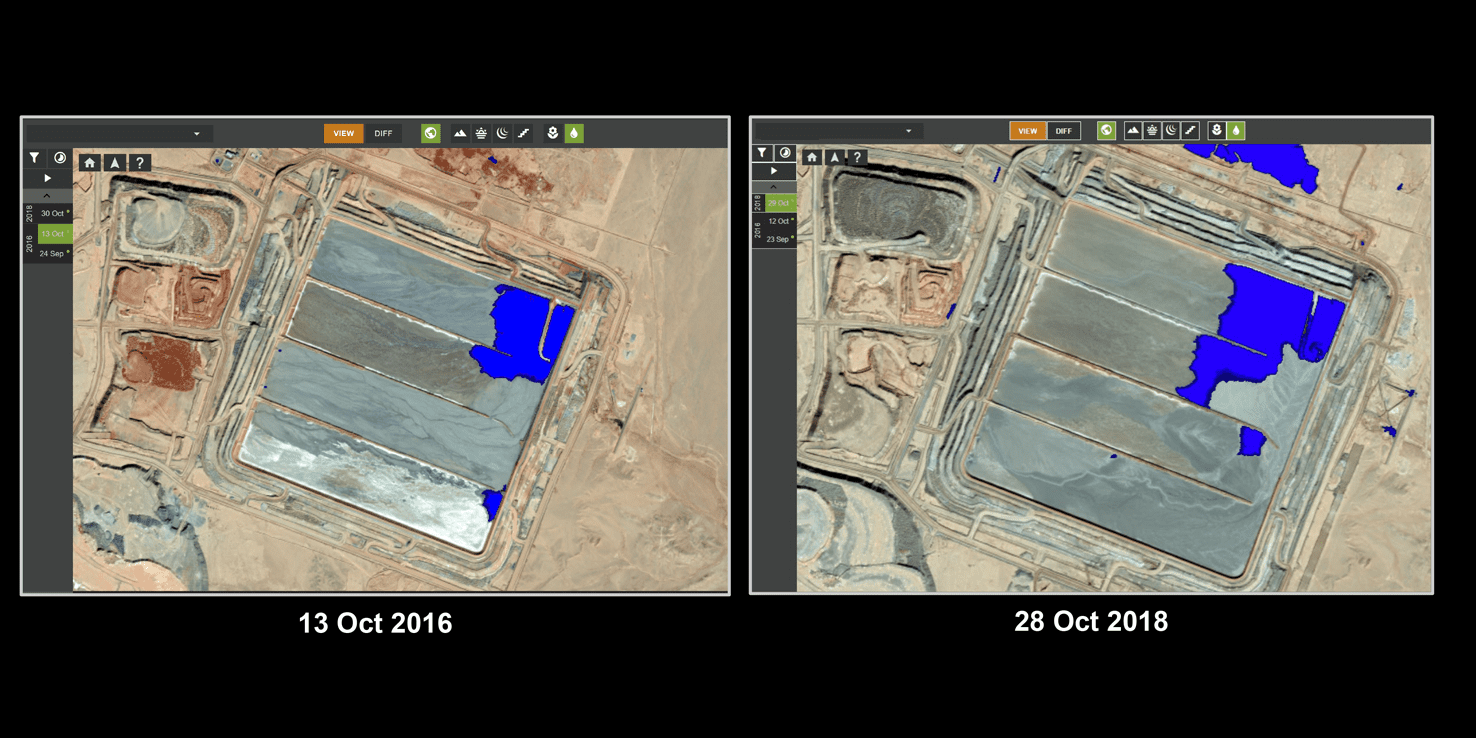
- Surface water change
- Vegetation and soil moisture change
- Freeboard measurements

ESG
MONITORING
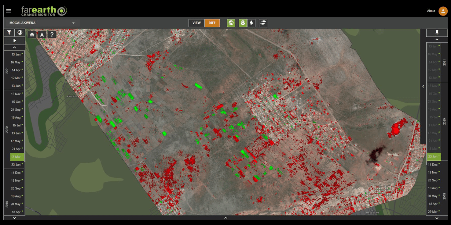
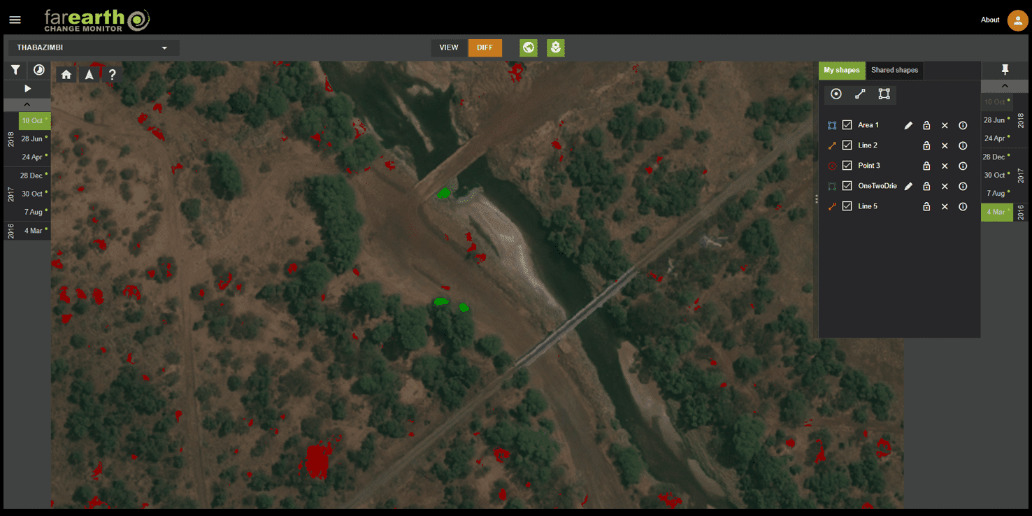
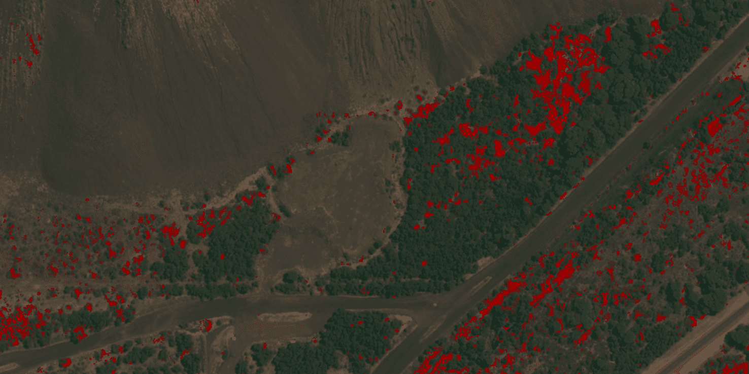
- Rehabilitation & vegetation monitoring
- Encroachment
- Illegal mining
- Dumping and wastewater monitoring
GEOSPATIAL PRODUCTS
- Elevation
- Contours and break-lines
- Volume
- Precision ortho-imagery
