


SOLUTION
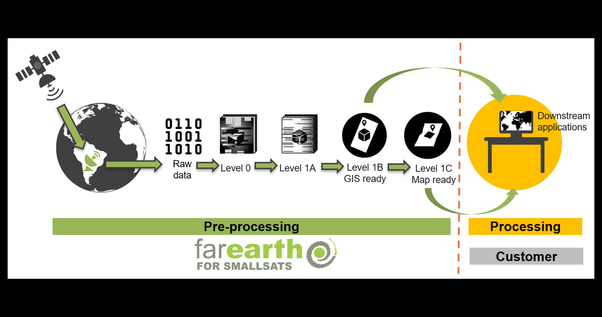
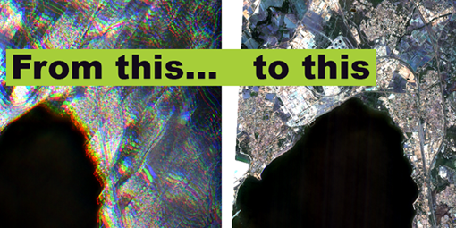
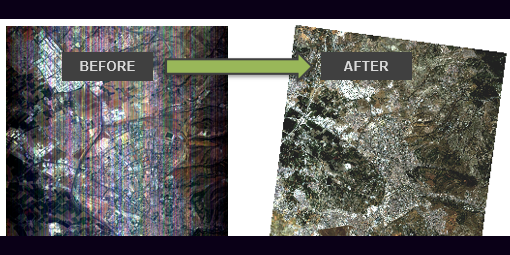
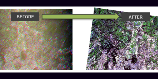
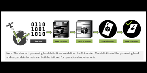
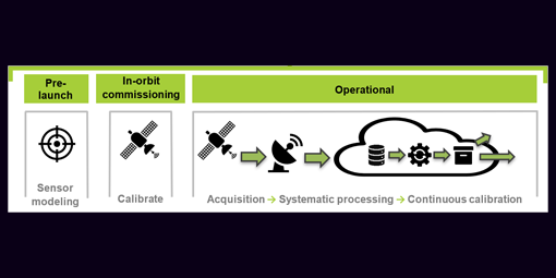
Our cloud-based system is the easiest way to calibrate new optical sensors and rapidly roll out processing for your Earth observation constellations. It automatically processes raw downlinked data to map-ready imagery for downstream applications.
FarEarth for SmallSats booklet
FOR WHOM
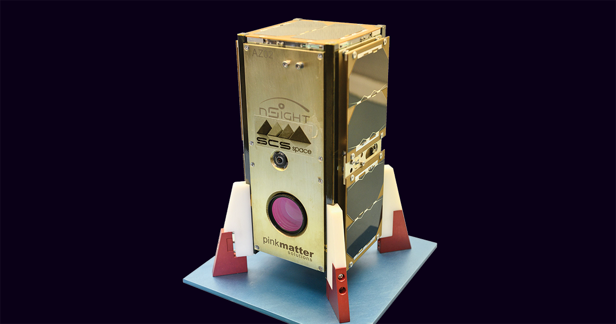
Small satellite operators and owners.
BROCHURE

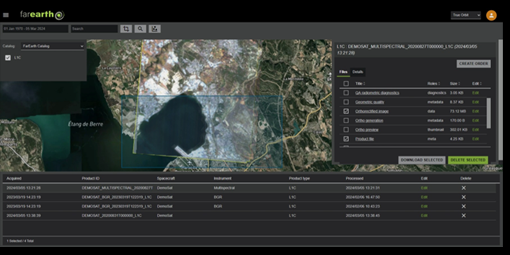
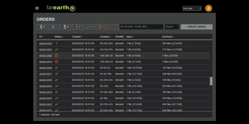
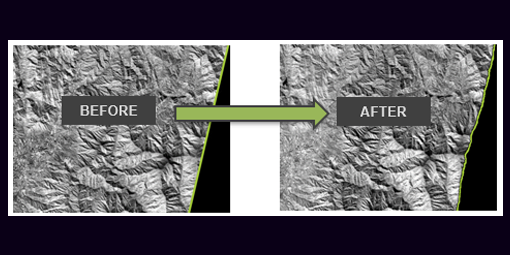
FarEarth creates high-quality image products that are accurate over time and across your satellites. Each image product includes standard metadata and quality metrics. Raw and processed products are securely stored in a searchable archive. FarEarth is flexible and easily integrates into your acquisition and distribution systems.
Our managed subscription service grows with your requirements.
Features:
- Calibrate new optical sensors
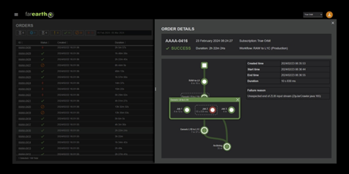
- Automated bulk processing
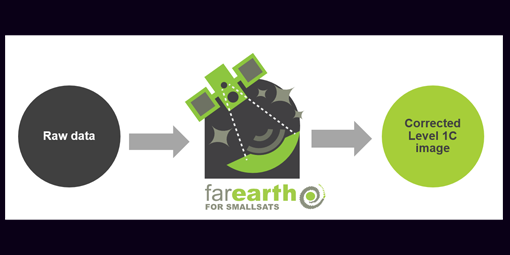
- Raw to Level 1C product
- Radiometric calibrations, geometric modelling, and terrain corrections
- Flexible data archiving, cataloguing, and distribution options
- High-quality image products
- Standard metadata and quality metrics


